Ecomuseum
Ecomuseum is an agreement with which a community takes on the task of recovering, safeguarding and transferring its cultural and territorial identity to the future. This definition, which is the most common one, says everything that the Ecomuseum of Alta Garfagnana is. It is a tool made up of cultural itineraries that illustrate the identity of this land: itineraries of the Apuan Ligurians, of the Middle Ages, of the Castles, of the peasant culture along which these museums and archaeological parks are located:
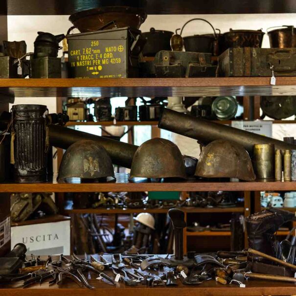
–Identity Museum of Alta Garfagnana “Olimpio Cammelli” (Gorfigliano, Chiesa Vecchia)
– Archaeological Park of the Hospital of San Nicolao di Tea (Monte Argegna);
– Pugliano Tower
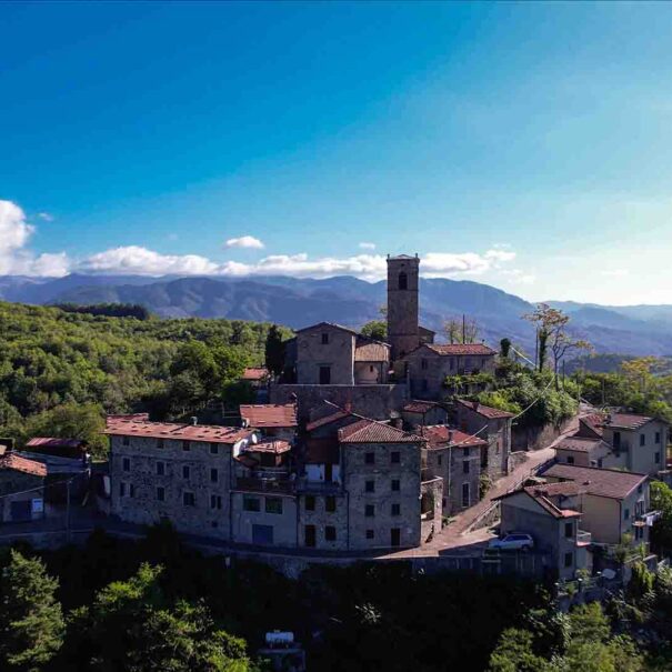
– Castle and ghost village of Bergiola
– Sanctuary of the Stele Statues (Hermitage of Minucciano or Hermitage of the Beata Vergine del Soccorso)
The ecomuseum is located in the municipality of Minucciano whose history seems to originate from the ancient Ligurian-Apuan populations, of which archaeological finds have been found.
Among these are the stele statues: menhirs dating back to the Bronze Age, copies of which can be admired in an archaeological park near the Hermitage of the Madonna del Soccorso located near the capital. There are two archaeological sites under study worth mentioning, one located on the hill where the Old Church of Gorfigliano stands and one referring to the hospital dedicated to San Nicolao dating back to around the middle of the eleventh century, located behind Mount Argegna, in Tea locality on the route of the ancient medieval road which separated from the Via Francigena itself – the one which from the Cisa pass reached Luni along the course of the Magra. – reached Lucca through the internal route of the Serchio river valley. The territory was inhabited by the Romans and the Lombards.
For centuries disputed by neighboring powers, during the Frankish occupation, it was a fiefdom of the Malaspina family, until it became an independent municipality and obtained the privilege of having its own currency: the “Barbone Minuccianese”, corresponding to 1/3 of the Lucca shield. After the brief return of the Malaspina family who governed for only four years, with Castruccio Castracani it returned under the Republic of Lucca. Towards the middle of 1300 the territory was ceded to the Florentines, under whose dominion it remained until 1369.
The municipality of Minucciano, due to its position at the saddle of the territorial system between the Apennines and the Apuan Alps and between the Serchio and Aulella hydrographic basins, has for centuries constituted the point of connection between two historically well-structured and very different from each other.
The first consists of the Cisa pass road from Parma to Pontremoli, Luni up to Lucca, traditionally called “Via Francigena” along the valley of the Magra river and the second from the road branch that connected Reggio Emilia, Modena – and the Emilian possessions of the Countess Matilde – in Lucca crossing the Apennine passes (Carpinelli, Pradarena, Buita, San Pellegrino in Alpe).
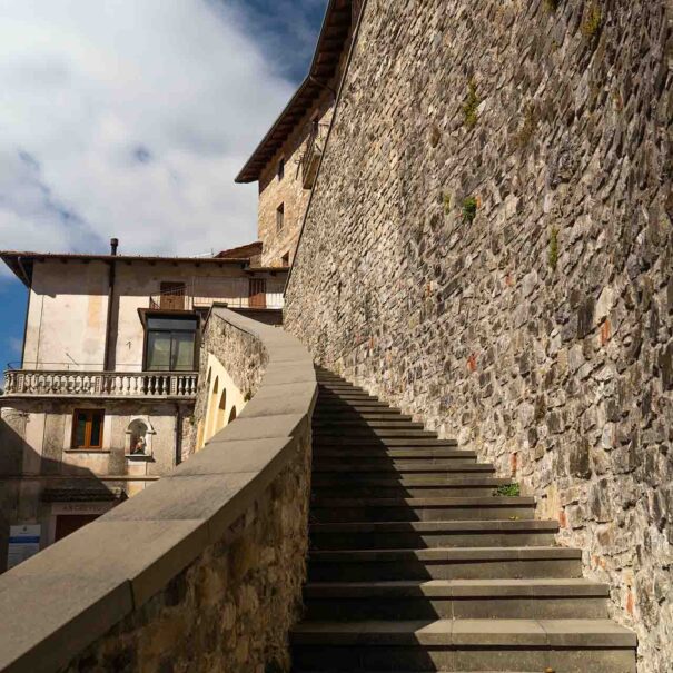
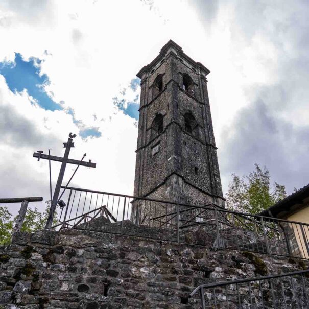
The stretch of road from Aulla to Piazza al Serchio, called Via del Volto Santo, connecting these two important medieval communication systems, crosses the municipal territory from North to South; along it we find significant evidence of these historical events, especially in the context of religious and military architecture which, in addition to representing elements of identity of the rural communities of the area, constitute significant episodes of historical architectural value which are the subject of studies by researchers and of tourists.
The municipal territory divided between the Apennine and Apuan portions, as well as the landscape, also diversifies in terms of settlement, on the two Apuan and Apennine sides.


