Ecomuseo Alta Garfagnana

Ecomuseo Alta Garfagnana

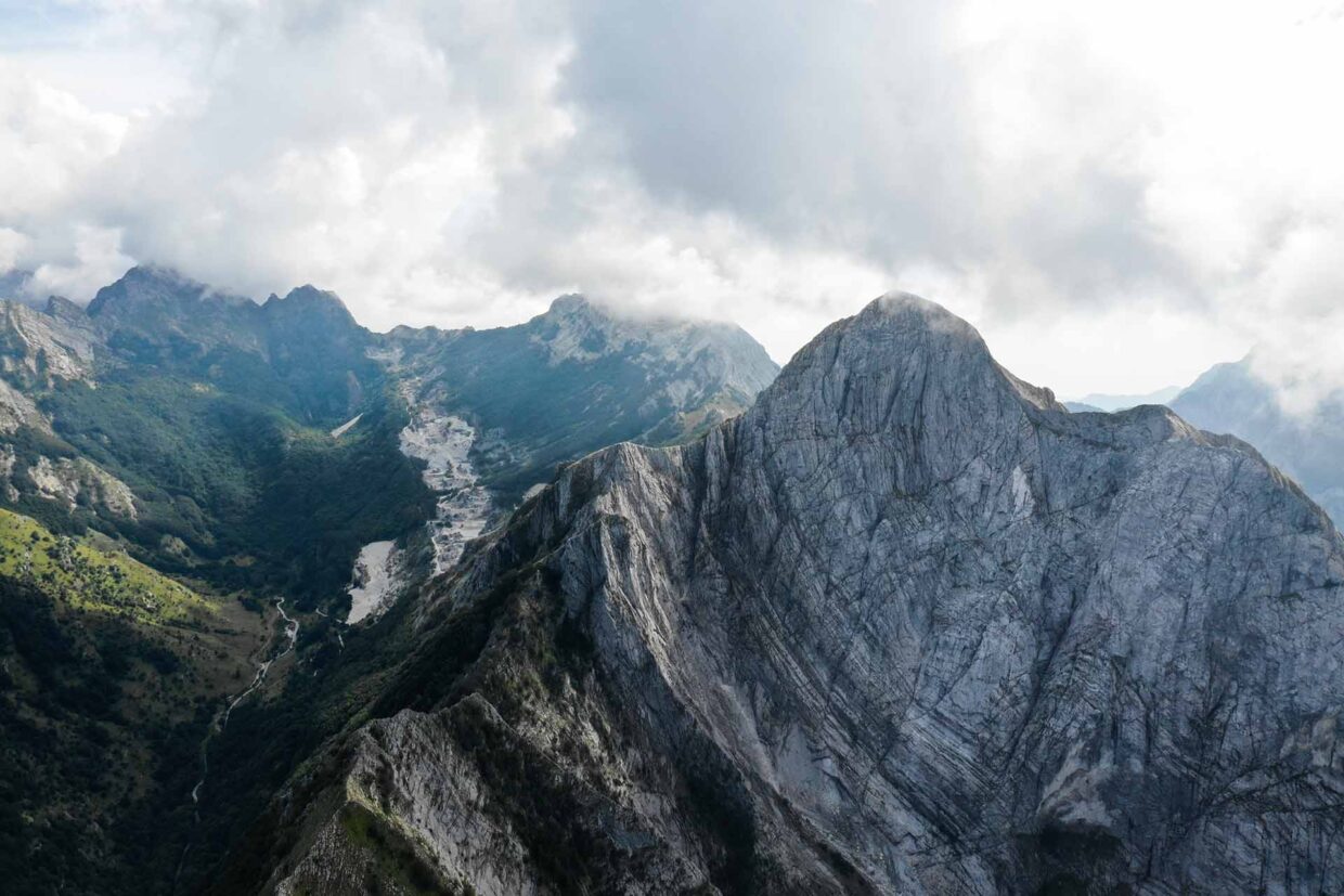
Alpi Apuane, monte Argegna, Orto di Donna e sentieri

Apuan Alps, Mount Argegna, Orto di Donna and the paths

The municipality of Minucciano is located within the Apuan Alps Regional Park, a mountain range with spectacular views of the Versilia sea and which extends for approximately 2000 hectares. An important attraction from a landscape point of view is Monte Argegna (1,019 meters above sea level). On its summit is the Sanctuary of Nostra Signora della Guardia, built in the 19th century and a popular destination for pilgrims and simple tourists. From here you can enjoy a wonderful panorama, from the peaks of the Apuan Alps to the sea of ​​Versilia. Near the Sanctuary there is also the Alpine Votive Bell which commemorates the sacrifice of many Garfagni soldiers during World War II. A unique place in Garfagnana is Orto di Donna, in Val Serenaia. A natural amphitheater of glacial origin located at 1,050 m. above sea level and surrounded by some of the most beautiful mountains of the Apuan Alps. Orto di Donna is an important starting point for mountaineering excursions in the surrounding mountains, among which Pisanino stands out, the highest peak of the entire chain with its 1947 m.

PATHS

CAI PATH 189 GRAMOLAZZO – POGGIO BALDOZZANA (Look on the map)

The path branches off from the state road which continues towards Minucciano, immediately after leaving the town of Gramolazzo.
From the start to the Foce Rifogliola, the route takes place first in the wide Serchio valley floor, then in a chestnut grove in Località Mandria. Having crossed the carriage road at Rifogliola, you climb sharply along the marked NE spur of Poggio di Baldozzana, through a forest of first hornbeam and then beech, and then go up the steep meadow to the northern shoulder of the Poggio (the Alpe di Ugliano), where you join path 181, coming from Pieve S. Lorenzo and Ugliancaldo and heading to the Cresta Capradossa and the mouth of Giovo.


CAI PATH 36 GORFIGLIANO – RIFUGIO ARONTE (Look on the map)
The route, marked only with posts at the start of the path “making it useless to affix the white-red signs” (if it is not essential information I would remove it because it is not beautiful), starts from the carriage road south of Gorfigliano, from which it branches off at of a gallery and takes place entirely on the marble road that leads to the Focolaccia Caves.
Paths 178 and 179 branch off from the marmifera at successive points, both of which head towards Foce di Cardeto.
The route continues with the same number beyond the Aronte Refuge, in the direction of Foce della Vettolina and the Carignano canal, up to Forno.
Difficulty: E
Length: 5.81 km
Difference in altitude: 947 m


CAI PATH 181 – PIEVE SAN LORENZO – FOCE A GIOVO (Look on the map)
About 12 km long, path 181 allows you to access the Apuan mountains by train from Pieve San Lorenzo station.
From the station you descend a little, crossing two small streams, then go up a long mule track, touching the hamlet of Argigliano-Villa and crossing the Rosceto canal, to finally reach Ugliancaldo.
From here along the carriage road to the nearby Maestà, where a long, well-practicable path begins which, passing through Forticello, climbs up to the large meadows of Poggio Baldozzana.
Beyond Poggio Baldozzana the path becomes for experts, entering the sharp coast of Capradossa with some exposed passages, descending to Foce Siggioli. The path continues on the eastern side of Pizzo d’Uccello on a slight slope or slight climb but it is necessary to overcome a steep stony gully with a handrail cable, after which there is an easy but exposed passage. You reach Giovetto in a beech forest and with some ups and downs to the nearby Foce di Giovo.